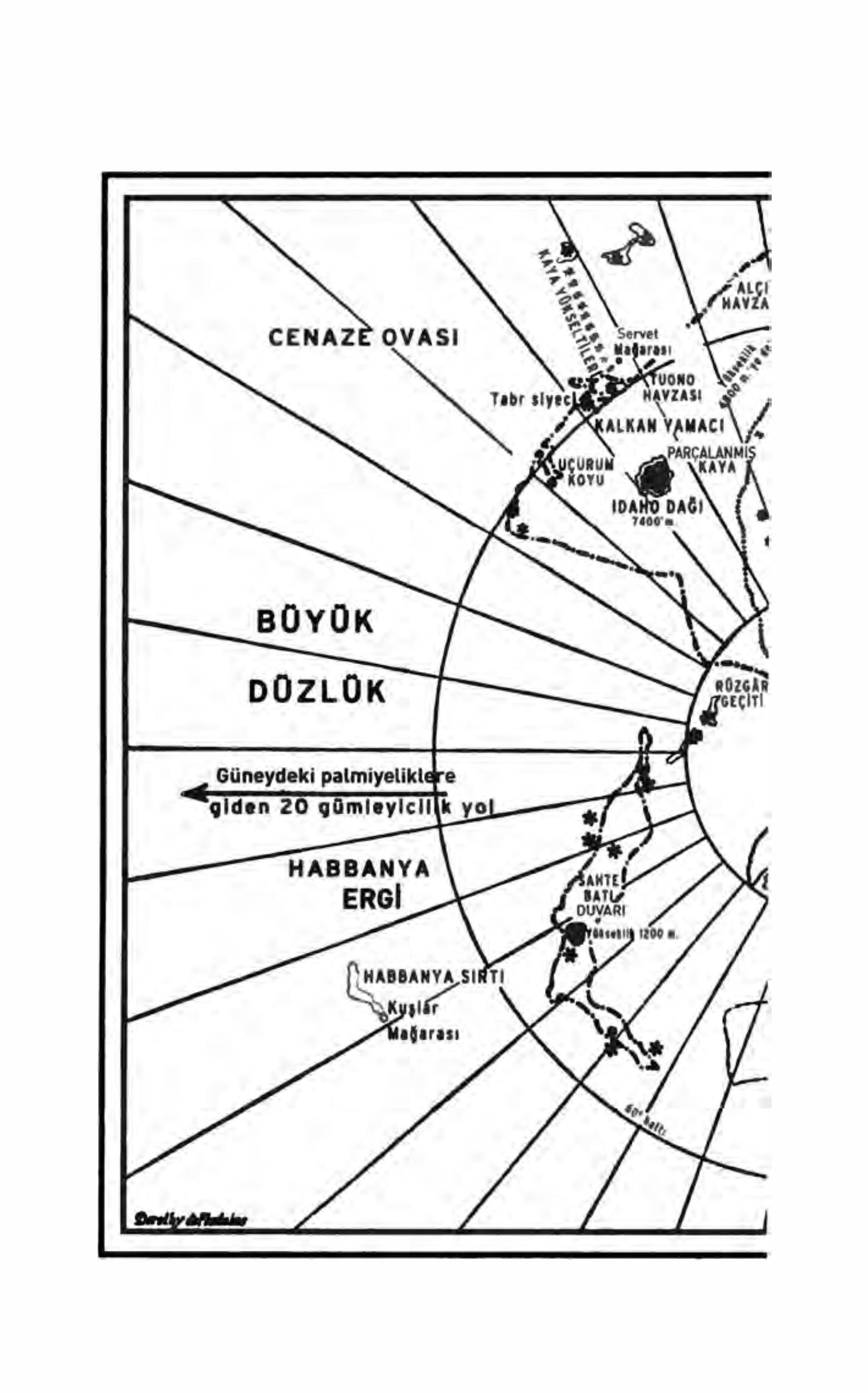
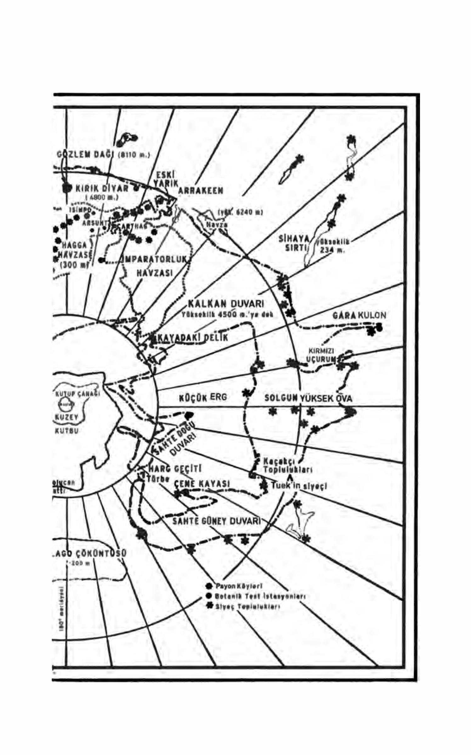
Arrakis · North pole
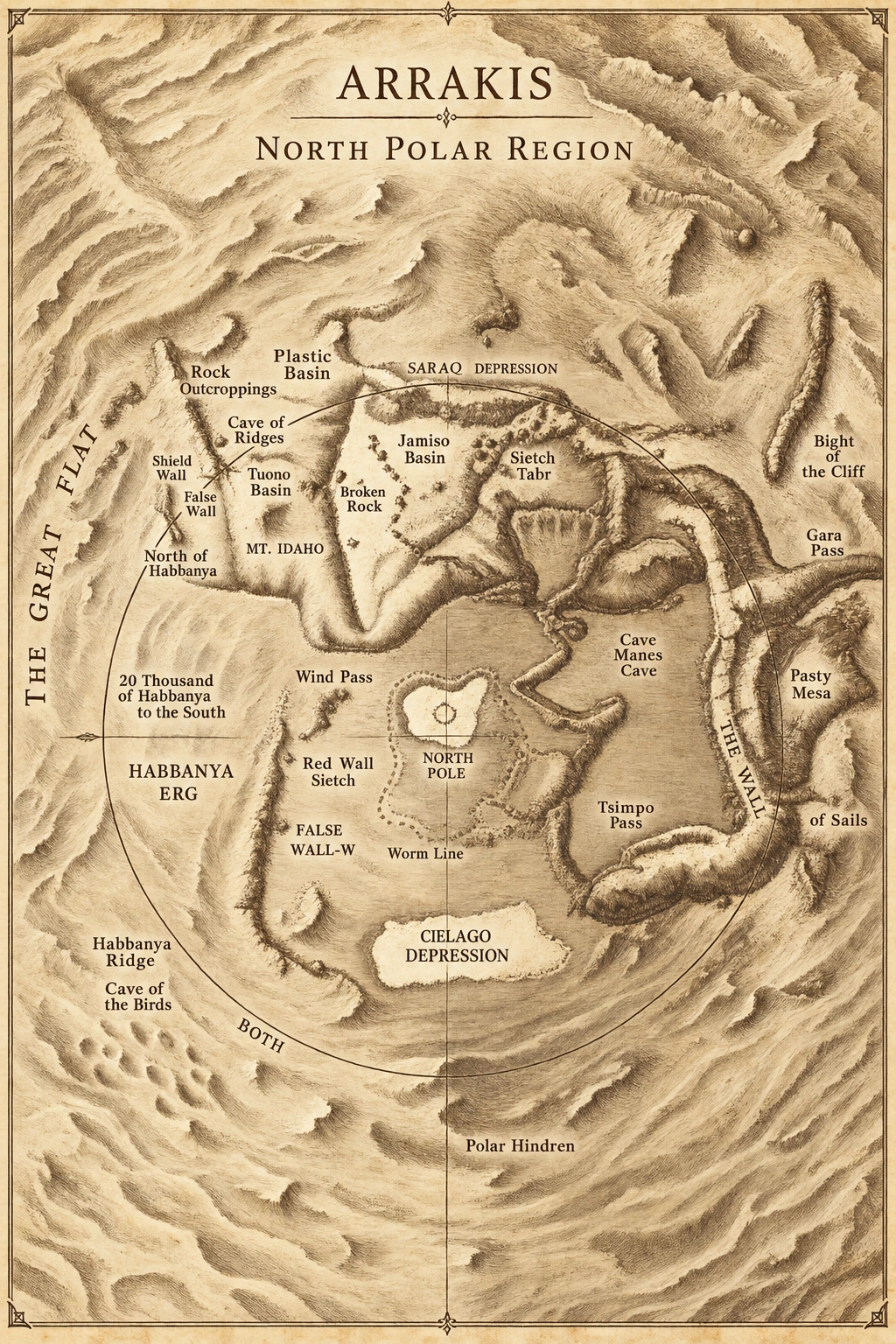
Mountain ranges, sand seas, and the contours around the north pole.
NORTH POLE / SAND WIND
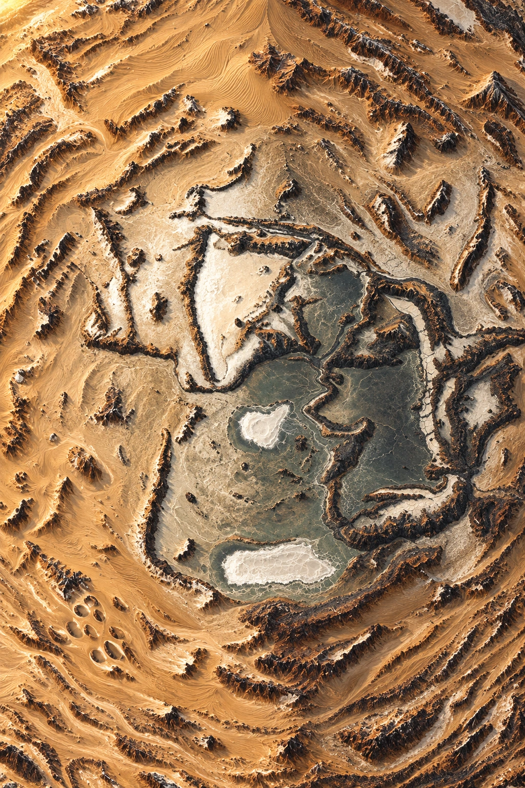
A new relief atlas interpretation generated using the original House Atreides map as reference. The animated atmosphere is a visual layer created for Dunepedia. Use the original plate below for place names and scale details.
The desert’s surface
Rocky belts, plains, and depressions show that Arrakis is not a uniform expanse of sand. The original map is the primary source for comparing locations in the novel.
Two sources, two perspectives
The image here draws inspiration from the Maps appendix of House Atreides. The two-page map in Frank Herbert’s Turkish Dune PDF is also available separately in the original archive.
Compare with the original book map +
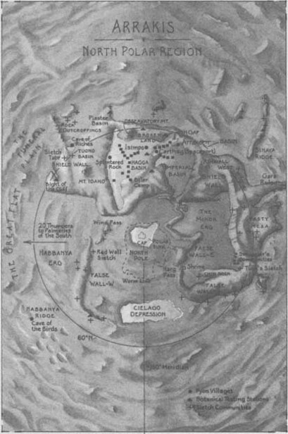
Source: House Atreides · Maps appendix. The book file’s resolution is preserved.
Book source record ↗Open the previous visual interpretation
The previous atlas plate is preserved. You can examine it alongside the new interpretation above.