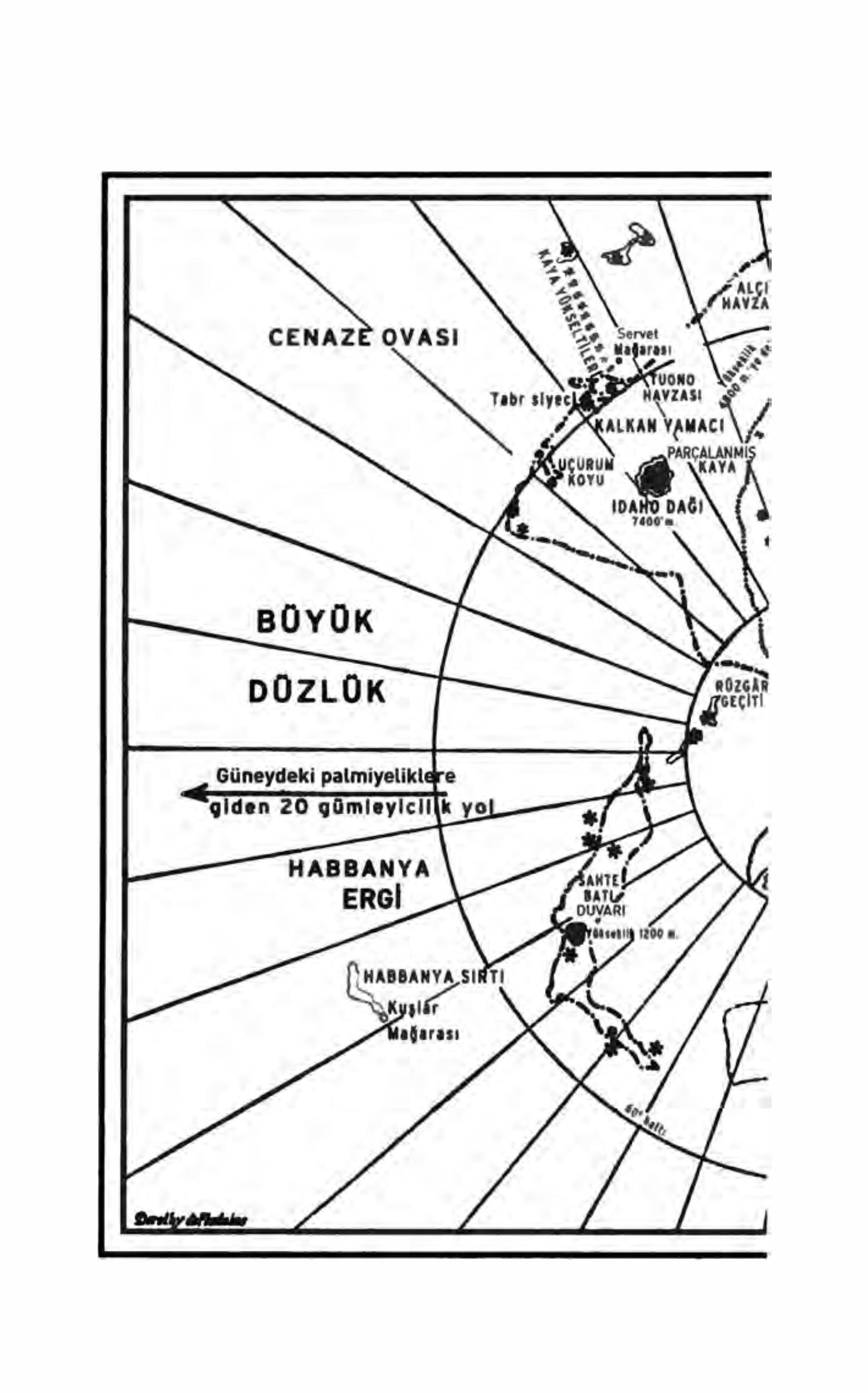
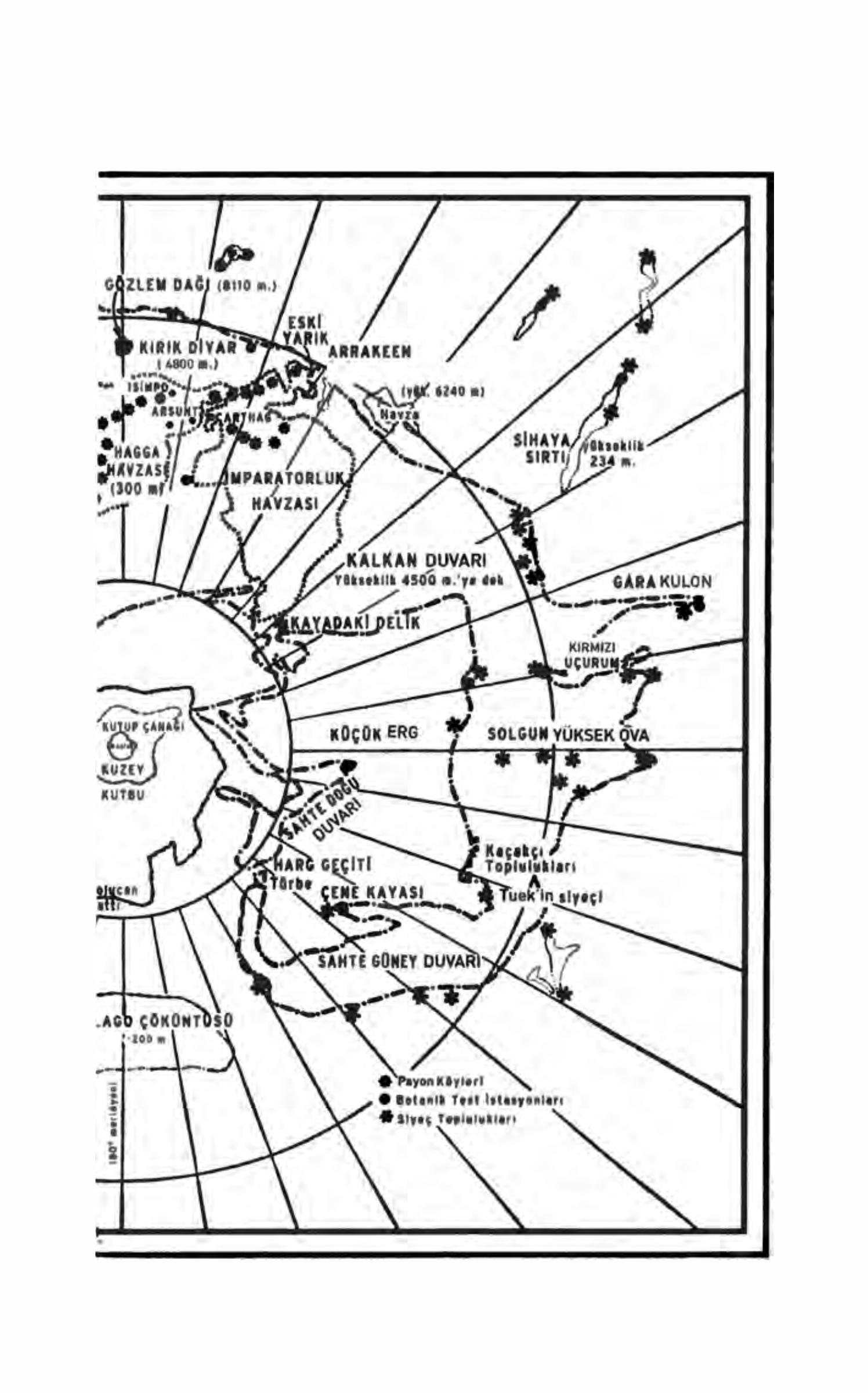
Arrakis · South pole
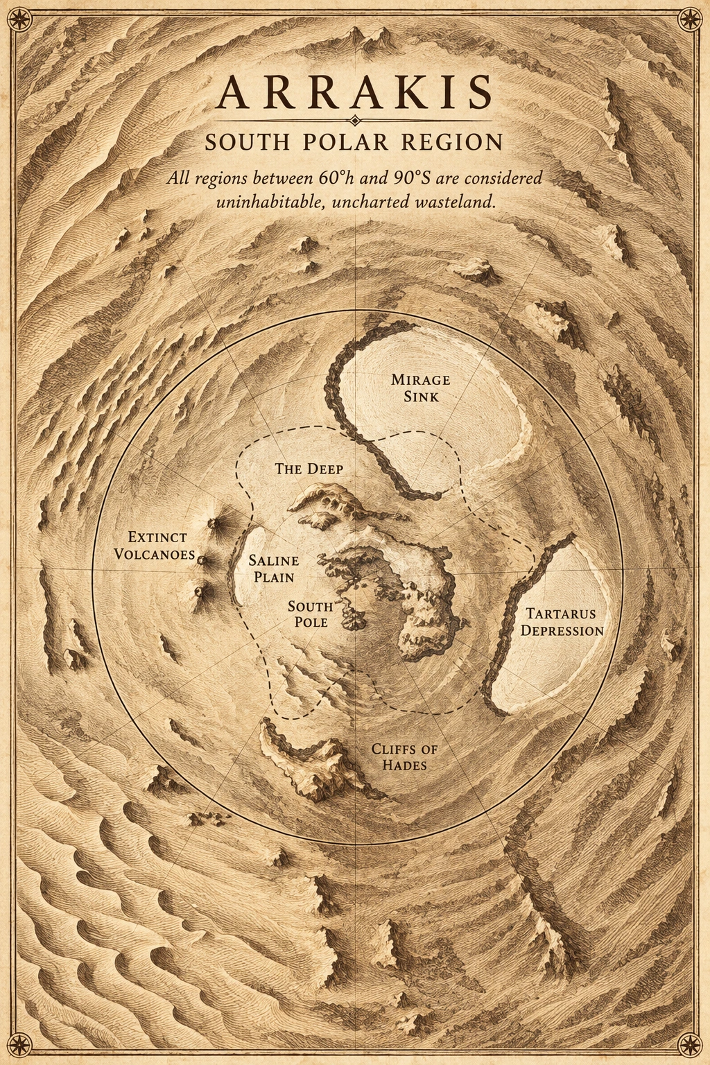
Salt flats, extinct volcanoes, and south polar basins.
SOUTH POLE / SALT AND SAND
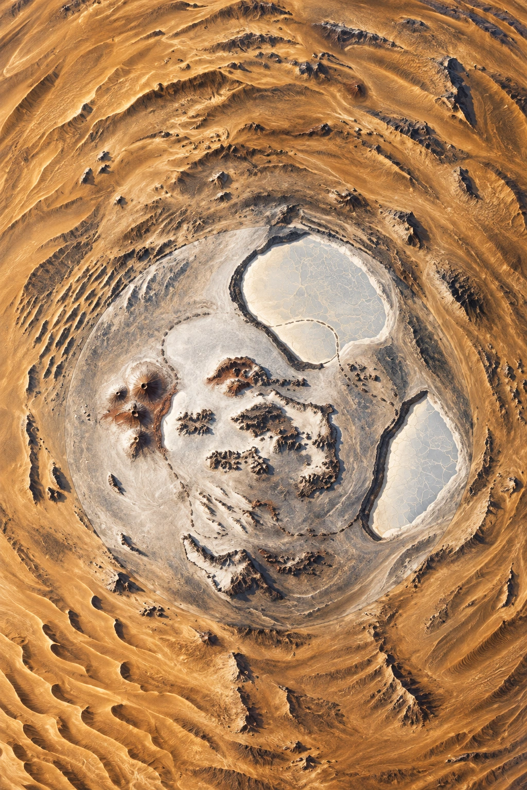
A new relief atlas interpretation generated using the original House Atreides map as reference. The animated atmosphere is a visual layer created for Dunepedia. Use the original plate below for place names and scale details.
A different Arrakis
Beyond the stories of northern settlements, the south polar map shows other landforms on the planet. The depressions and mountain belts on the source plate are the starting point for this image.
The space for uncertainty
Blank spaces on the map do not mean the novel details the entire planet. For geographic details, compare it with the original source plate.
Compare with the original book map +
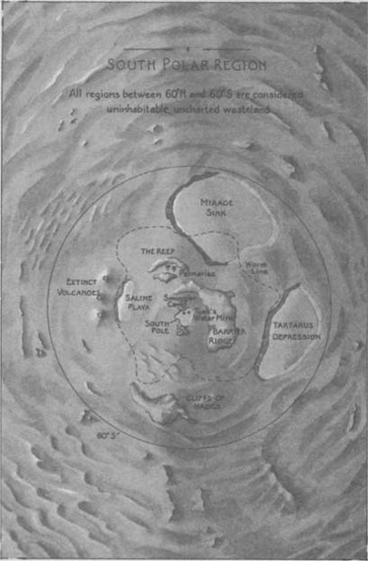
Source: House Atreides · Maps appendix. The book file’s resolution is preserved.
Book source record ↗Open the previous visual interpretation
The previous atlas plate is preserved. You can examine it alongside the new interpretation above.